marko
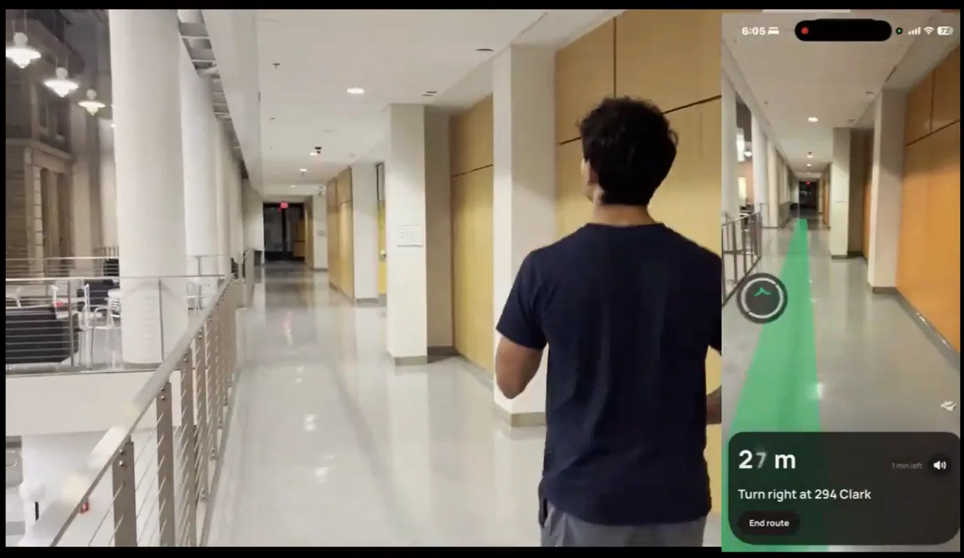
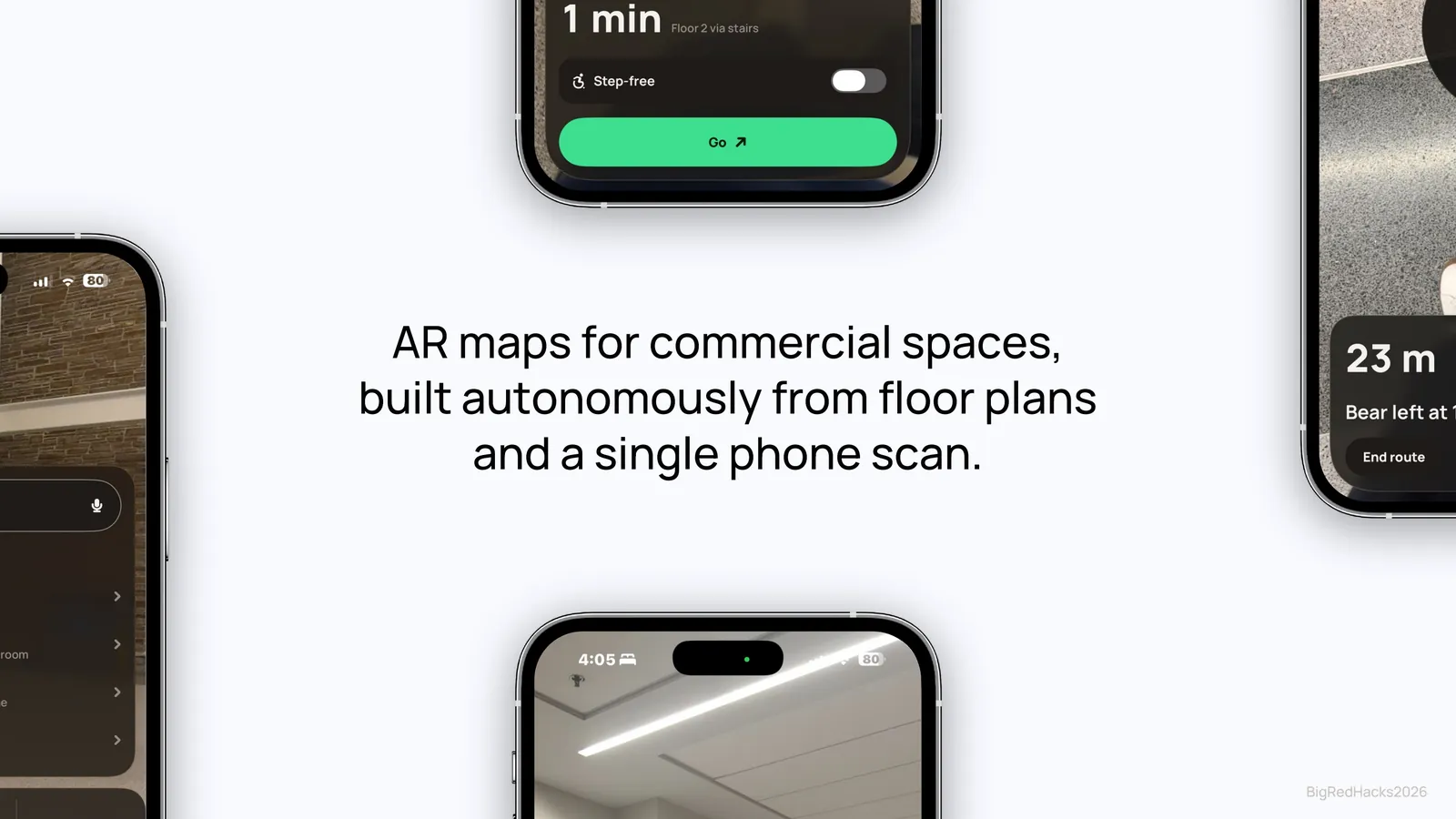
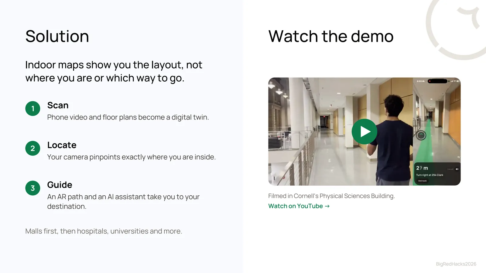
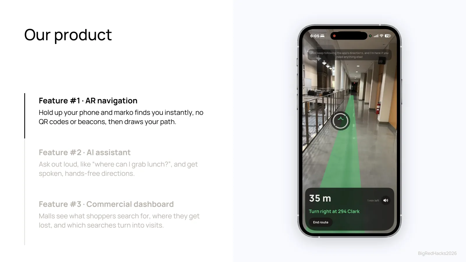
AR navigation for indoor spaces, built from a floor plan and a single phone scan. Hold up your phone and marko works out where you are from the camera alone, with no beacons and no QR codes, then draws your route right onto the hallway.
01The problem
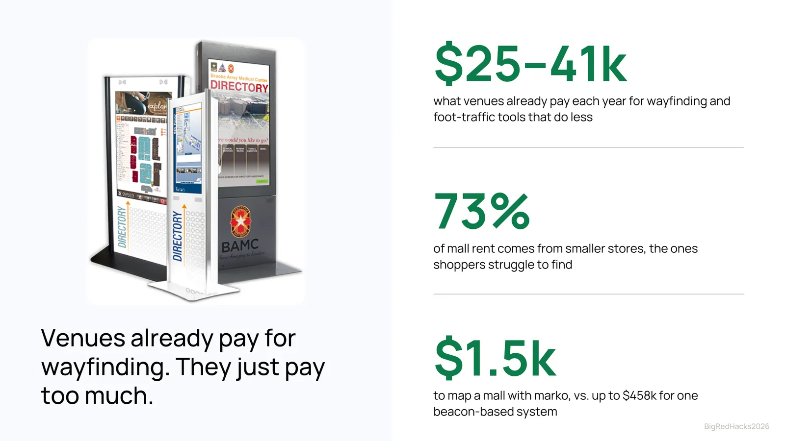
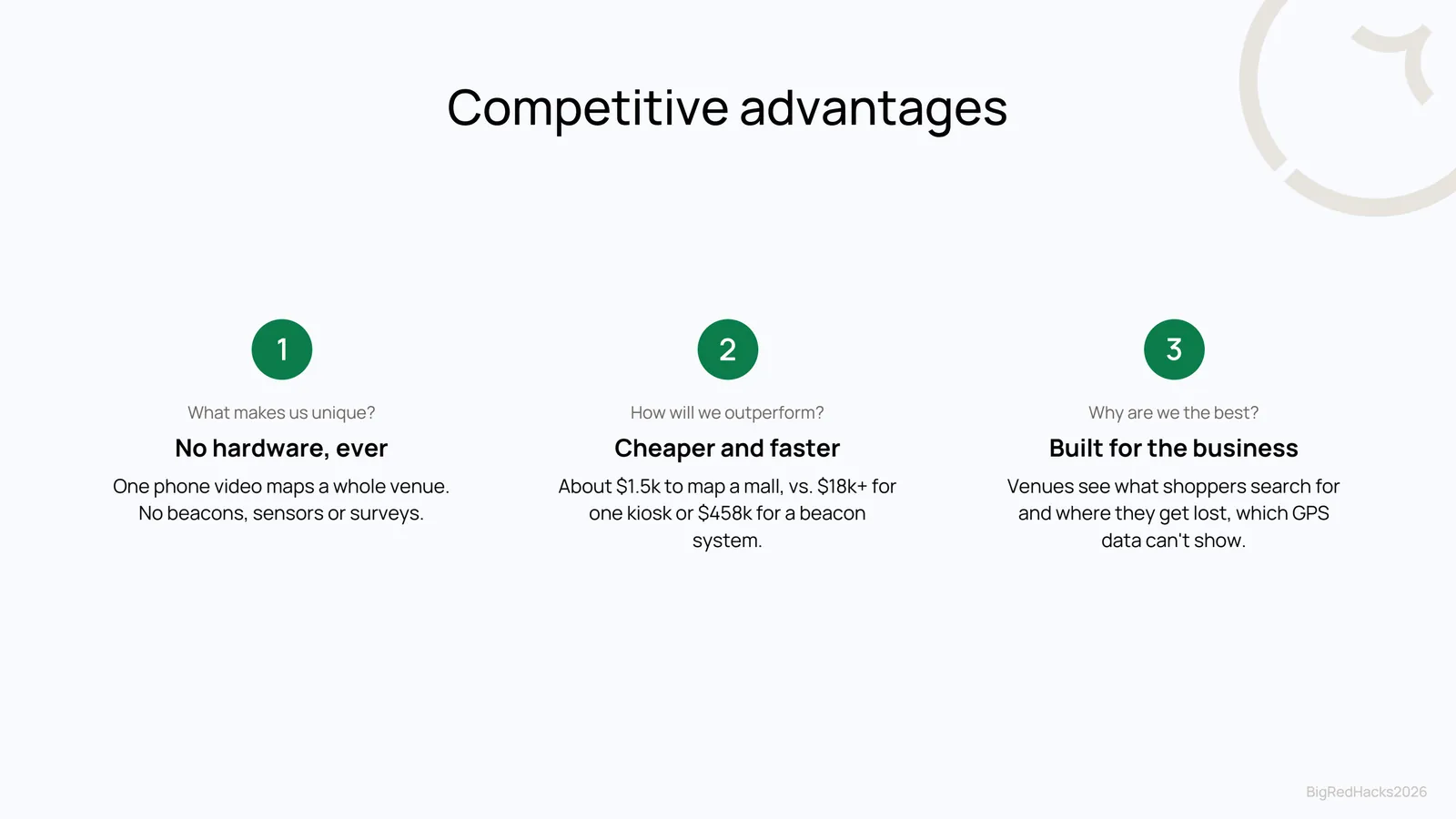
Indoor maps show you the layout, but not where you are or which way to go. GPS stops working at the front door. The systems that do work indoors rely on Bluetooth beacons or kiosks, which cost venues tens of thousands of dollars to install and maintain, so most malls, hospitals, and campuses simply don't have them.
We wanted indoor navigation that a venue could set up in an afternoon with a phone.
02How it works
- ScanOne walk through the building with an iPhone records video, motion data, and LiDAR depth.
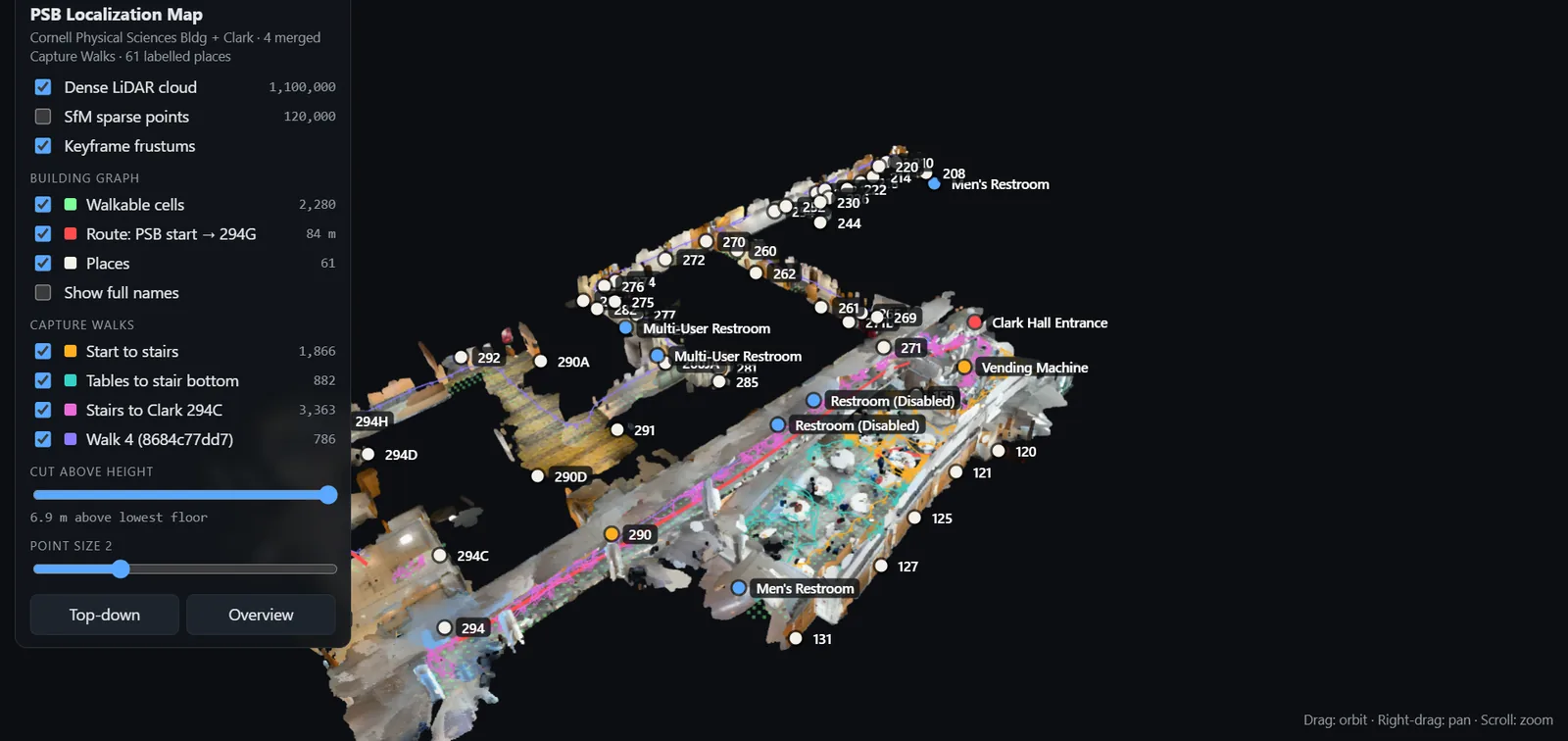
- Build a digital twinKeyframes are matched and triangulated into a 3D model (structure-from-motion), fused with the LiDAR into a dense point cloud and a walkable graph of the floor.
- LocateA photo from the user's camera is matched against the twin. Dense feature matching plus a PnP pose solve gives position and heading, and strict inlier checks reject uncertain fixes.
- RouteDijkstra's algorithm finds the shortest path across the walkable graph to any of the labelled places.
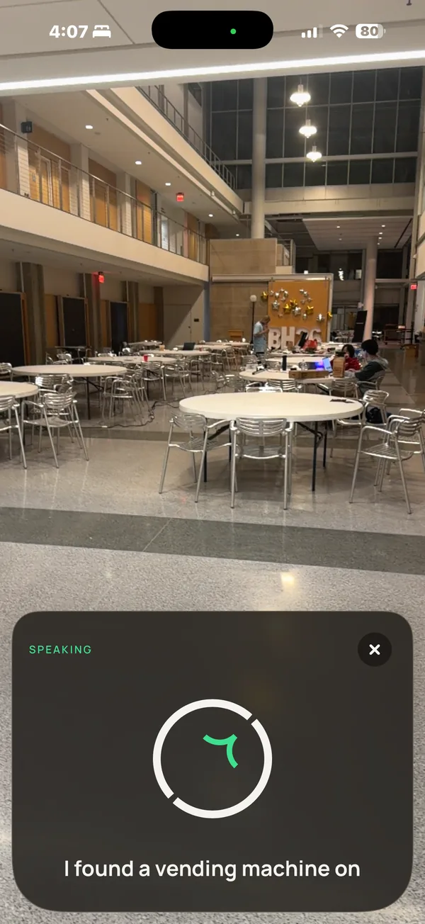
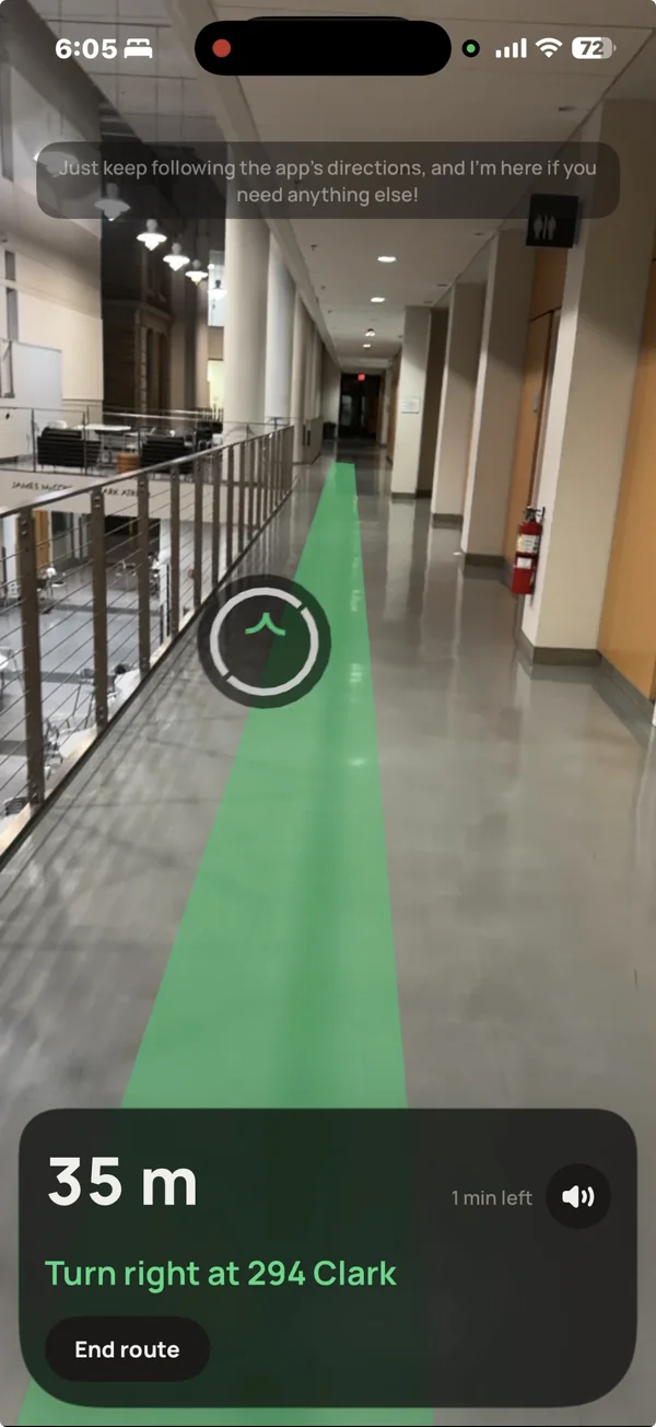
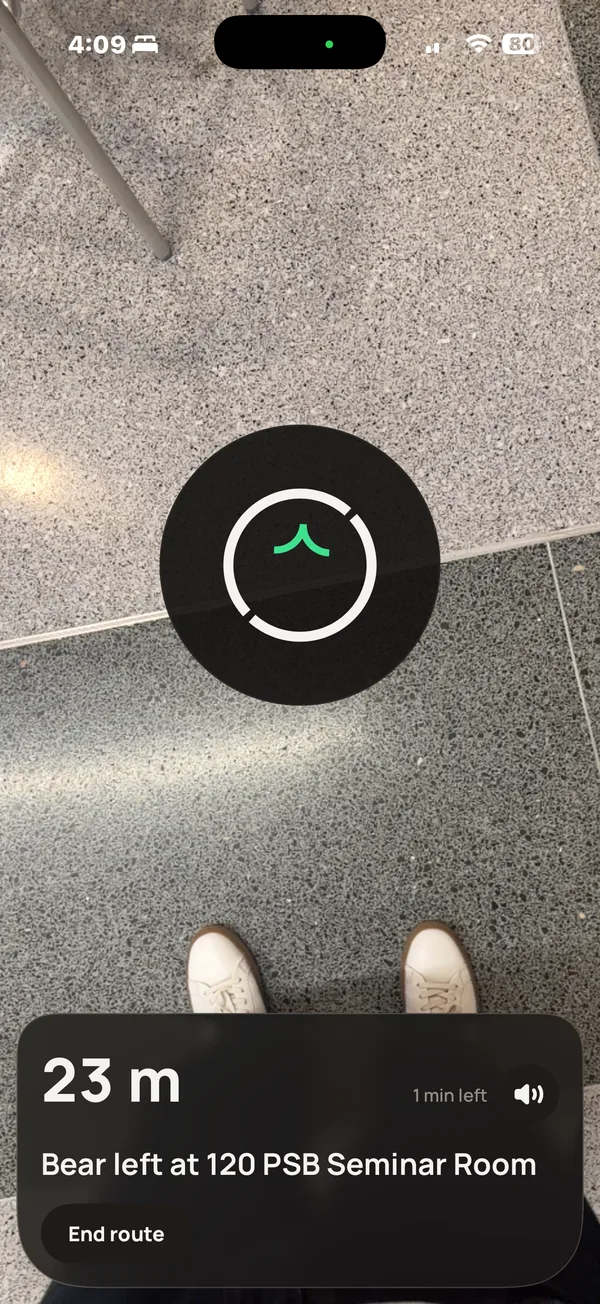
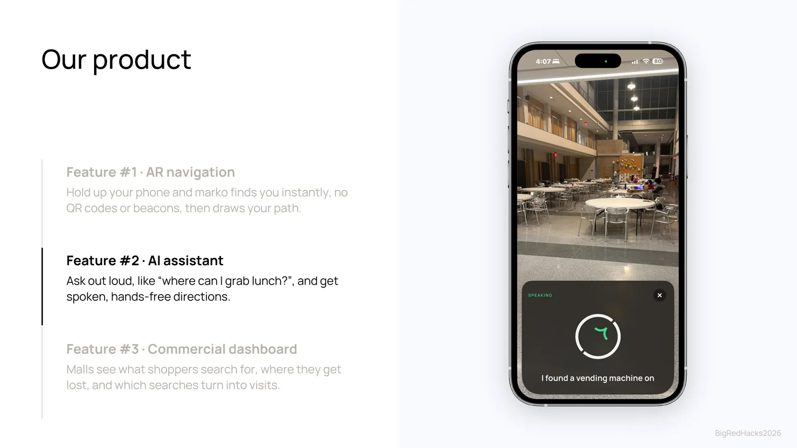
- GuideAn AR ribbon on the floor, a Find My-style arrow, and a voice assistant that answers "where can I grab lunch?"
03The app
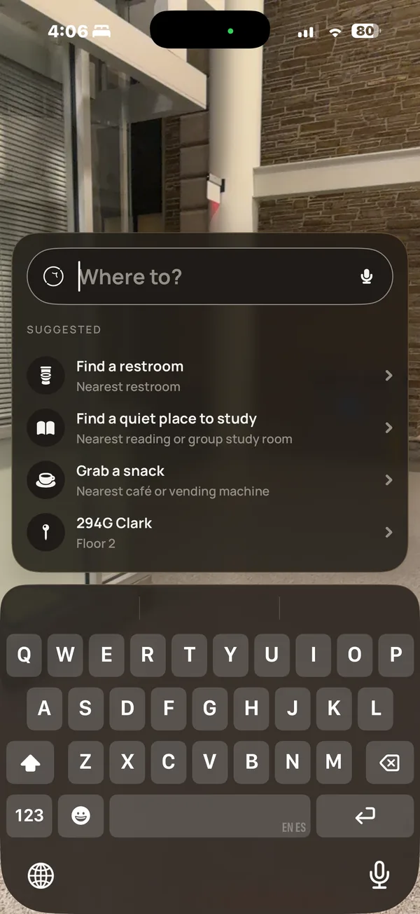
Search for a room, restroom, or café and marko locks on with one camera fix, then keeps tracking with ARKit as you walk. Distance and the next turn stay pinned to the bottom of the screen.
04The business
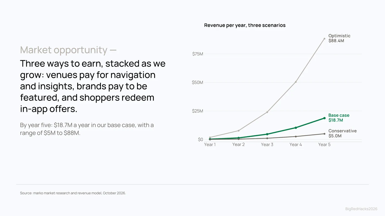
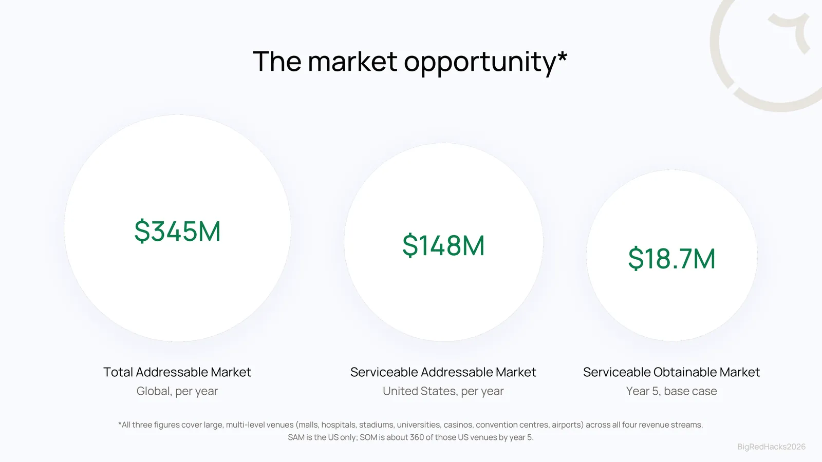
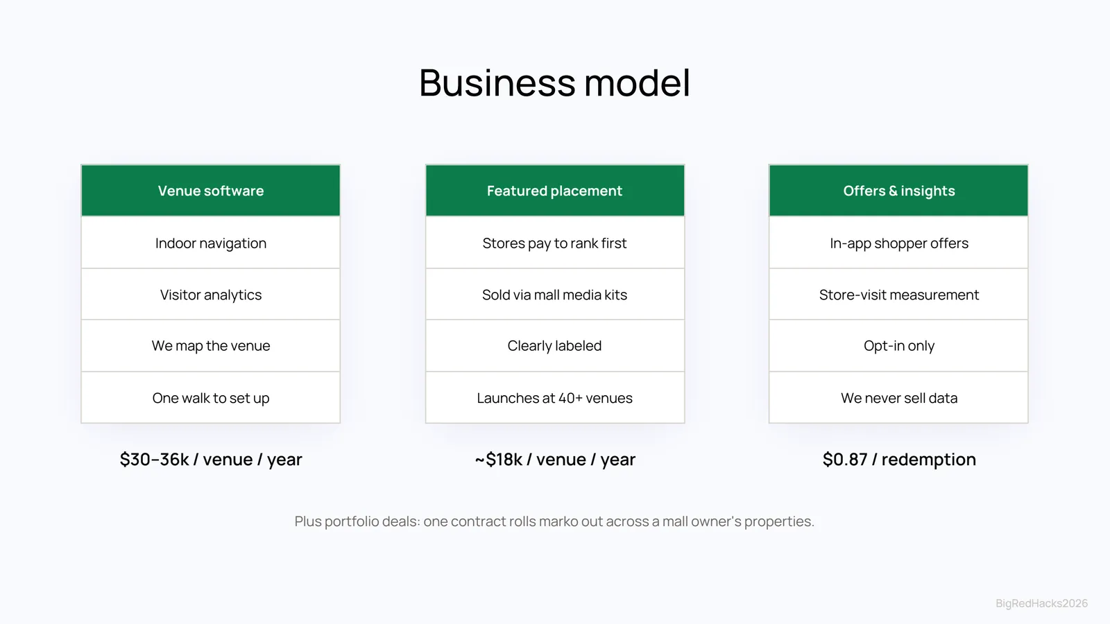
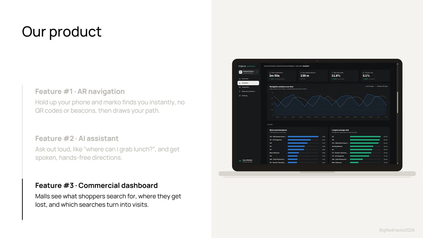
Setup is free for the venue. marko earns money from what navigation reveals: a dashboard showing foot traffic, what visitors search for and fail to find, and where people get lost. Malls come first, then hospitals and universities.
We're now working to turn marko into a real startup, talking with potential investors and exploring drone mapping to scan buildings faster.
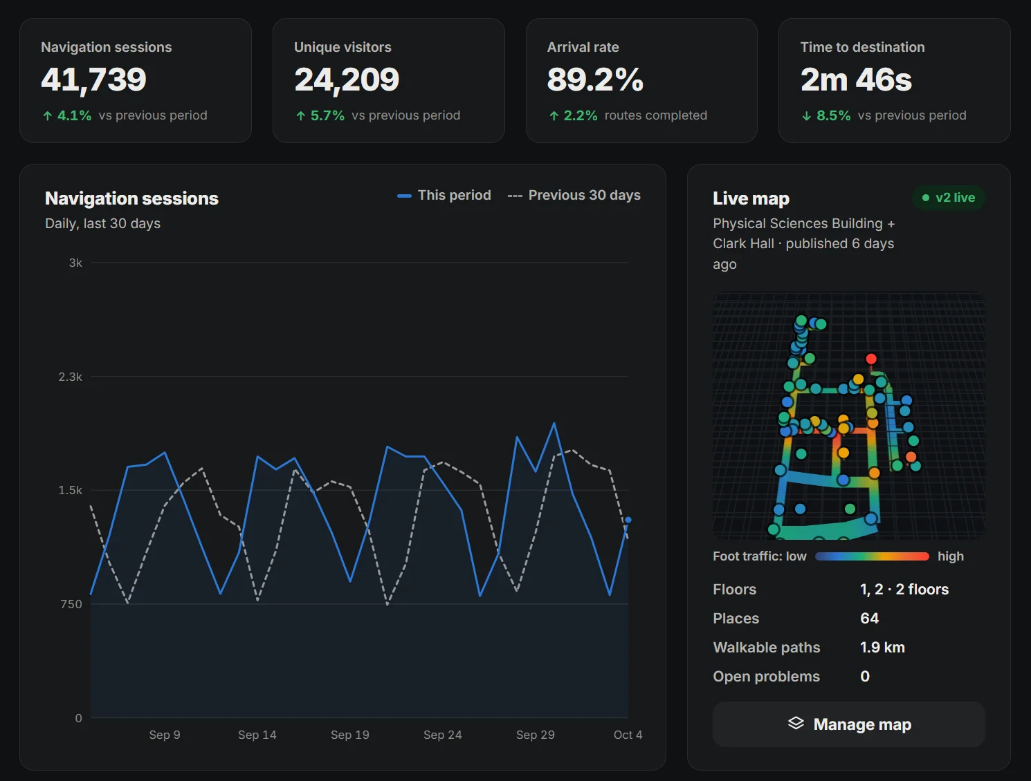
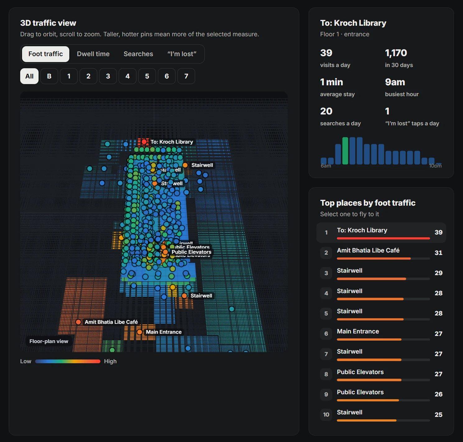
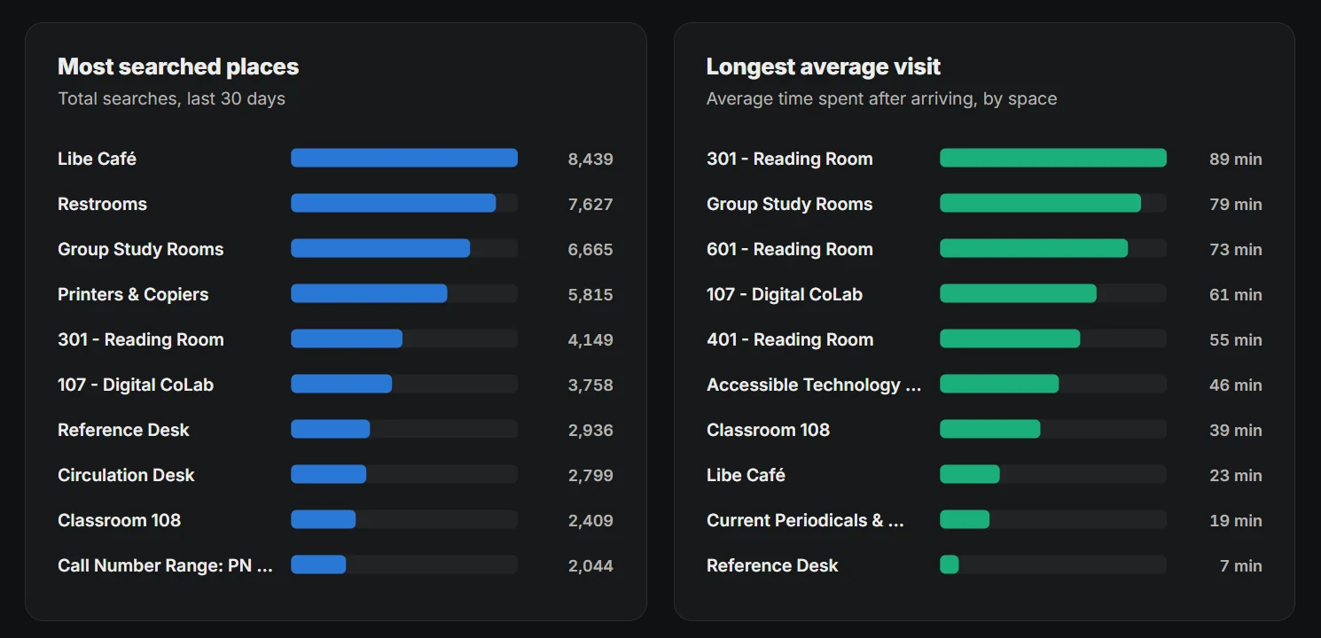
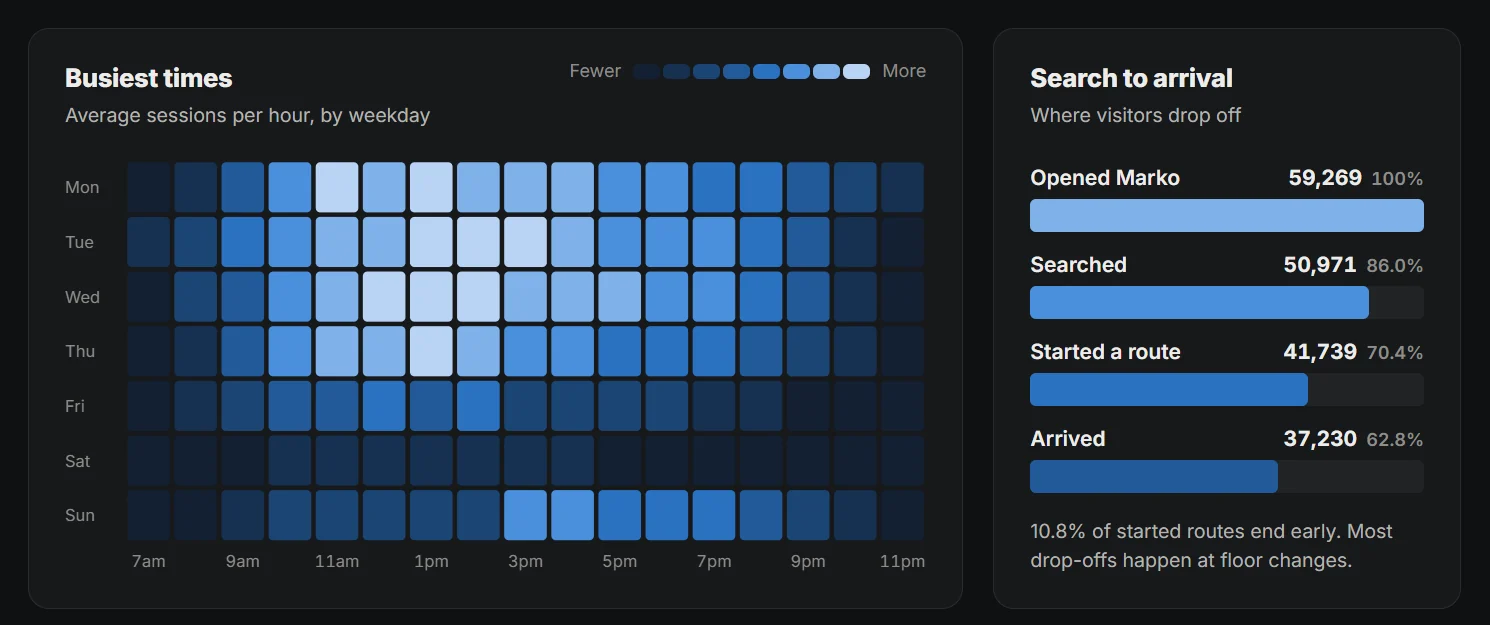
Venue dashboard prototype, shown with sample data.
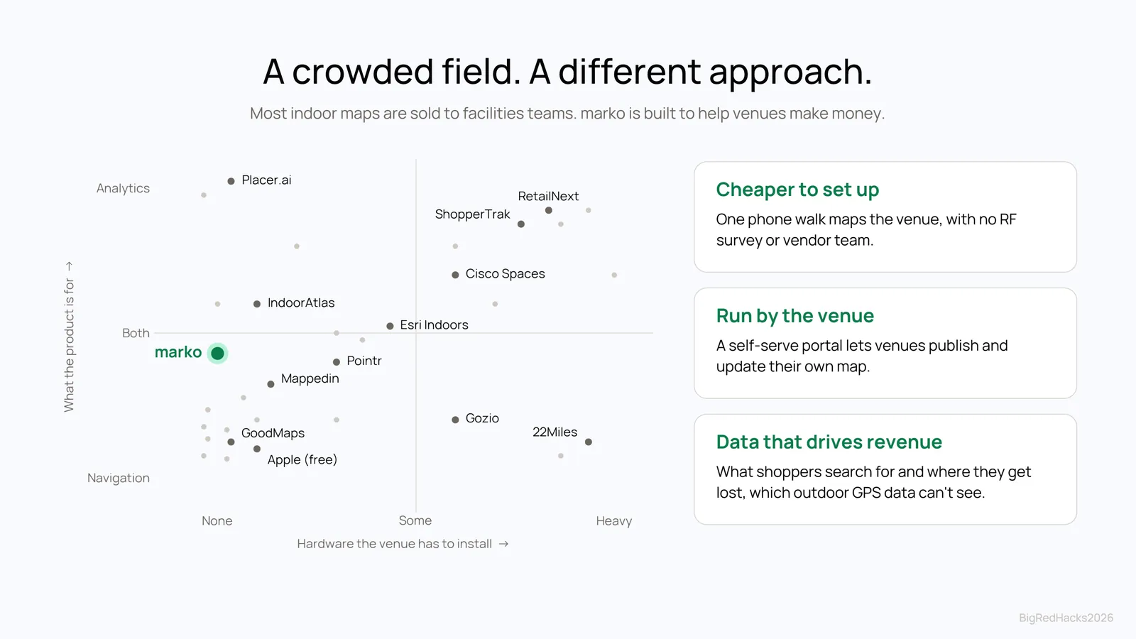
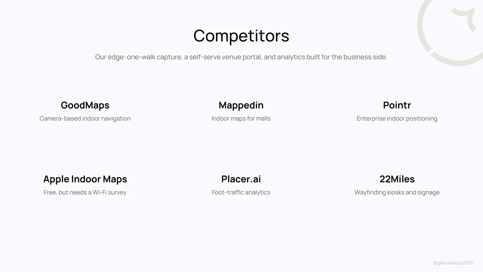
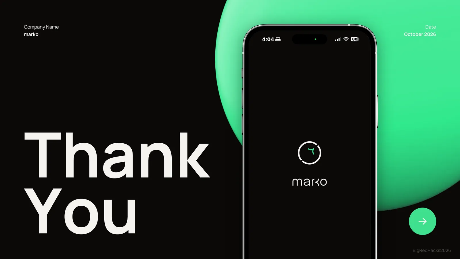
05Pitch deck
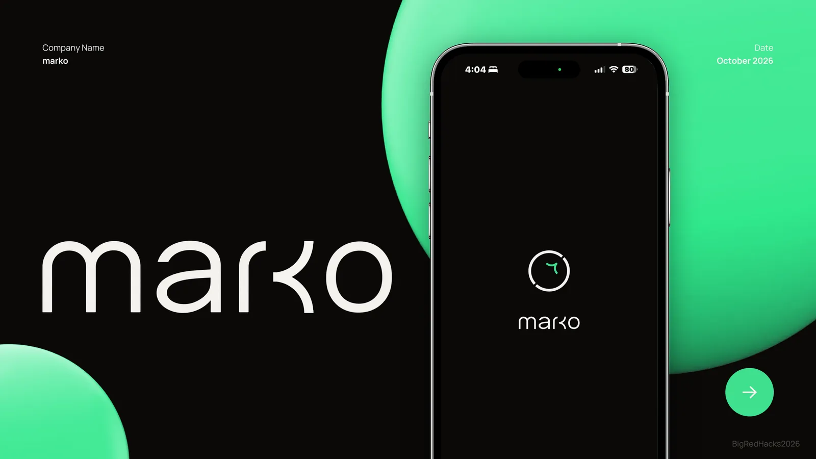
I led business strategy and branding, and pitched marko to the judges.
06My role
- Built the 3D models of the building and the walkable graph they sit on.
- Implemented Dijkstra routing between labelled places.
- Worked on camera-to-map localization, the step that turns a single photo into a position on the map.
- Led business strategy and branding, pitched to the judges, and presented the final demo to 180+ attendees.
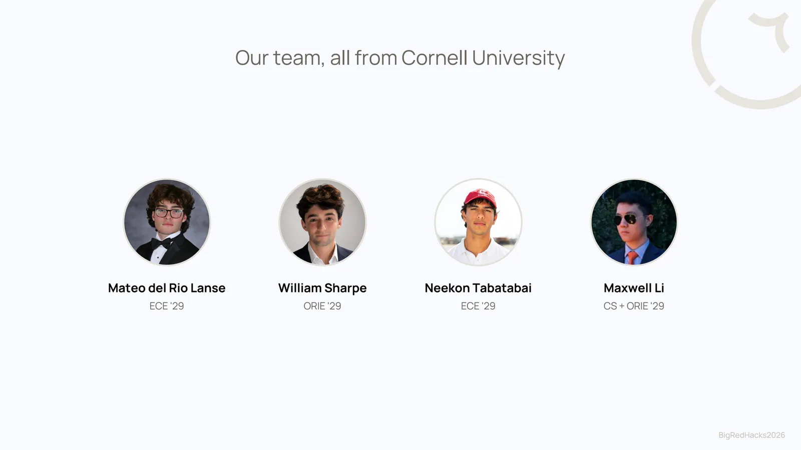
Built with Mateo del Rio Lanse, Neekon Tabatabai, and Maxwell Li.
07Skills applied
- Python
- Computer vision
- Structure-from-motion
- LiDAR point clouds
- Visual localization (PnP)
- Graph algorithms · Dijkstra
- 3D modeling · Blender
- Augmented reality
- Product strategy
- Branding
- Pitching